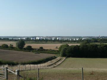
Tendring Landscape Assessment

Tendring Landscape Impact Assessment
Working jointly with Amec, an extensive 2 stage study on behalf of Tendring District Council of 36 broad areas for large and small urban extensions throughout the district, as part of the LDF preparation. The assessment was reported in the form of summary sheets for each area, with a ‘traffic light’ (red/amber/green) scoring system of potential suitability for housing development, in landscape terms. This initial stage was followed by further, more detailed study of 10 specific options for urban extensions, mostly around the principal settlements. This stage of the work looked at the development potential of each option, and also the mitigation which may be appropriate in terms of landscape buffers, green corridors and provision of open space, as well as the need to preserve or enhance local designations such as Green Gaps and the Coastal Protection Belt. Sketches illustrating the development potential for each option were prepared, showing areas for housing and green infrastructure, together with approximate housing numbers which may be achievable in landscape terms, in each case.
